Villages Antiques de la Syrie du Nord. Le Massif du Bélus a l’Epoque Romaine. THREE VOLUMES.
Tchalenko, Georges.
Synopsis
The Belus is a very coherent region only known to its inhabitants stretching along the different Mounts Sima’an, Halaqa, Bartsa, Il A’ala, Dueili, Wastani, Zawiye, Riha and Summaq. The cities that survived this appellation are Chalcis near Aleppo and the controversial Seleucia which could either be near Apamee or near Antioch-Turkey. The origin of the word Belus is in honour of Bel, the God adored on the top of the mountain overlooking Apamee. The research was done more extensively on the region of Mount Sima’an, this mountainous bloc where only two roads were manageable from Antioch to Chalcis and from Laodicia to Chalcis. On the final map of this study the Belus region is only mentioned as a “The Chalky Range”.
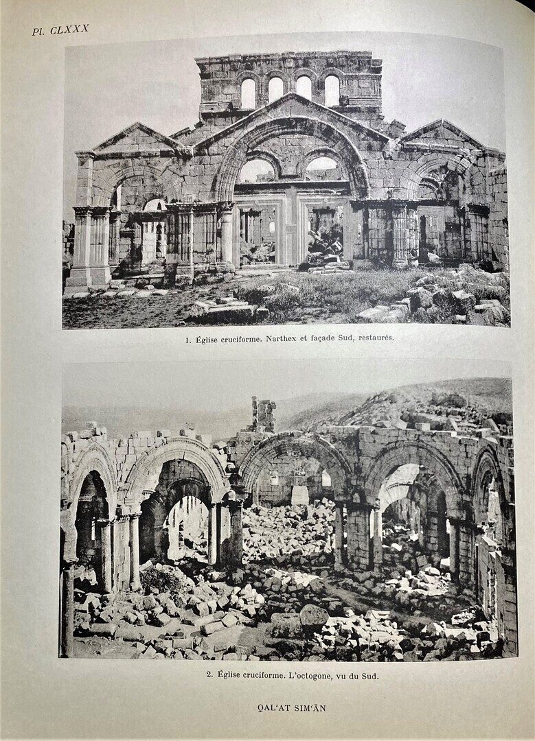
This study was the fruit of an extensive research while undertaking a restoration program of St. Simon of the Pillar between 1935 and 1944 and covers “The Chalky Range” during antiquity; its the climatic, geographical, geological, agricultural and economical conditions. This is followed by the study of the different convents of the Dama and Quatura plains, especially Mar Sima’an, and the villages in the mountainous range such as Bamuqqa, Qirqbize and Bekyo. It concludes with the study of this rural civilisation with its height and downfall.


