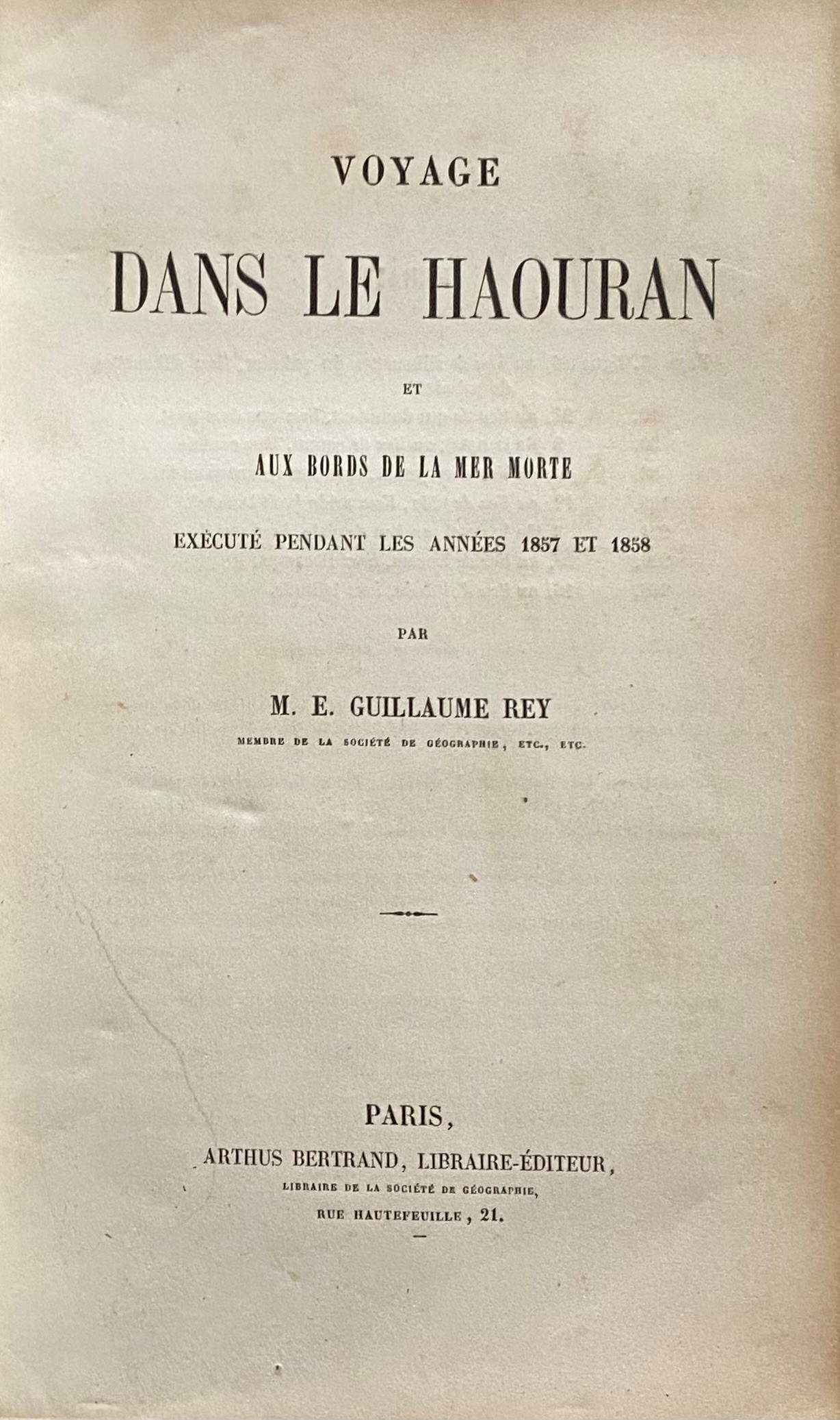
Voyage dans Le Haouran et aux Bords de La Mer Morte exécuté pendant Les Années 1857 et 1858. TWO VOLUMES: TEXT + ATLAS.
Rey, Emanuel Guillaume 1837-1916.
Synopsis
Emanuel Guillaume Rey was an expert on Crusaders monuments in the Holy Land. He was in charge of the restoration of the Dome of the Holy Sepulchre in Jerusalem. He travelled extensively in Palestine, Syria, Jordan and Lebanon. And visited with his companions (Dr Delbet, Prince Lubomirski and Père Ratisbonne) practically every village in the Hawran district (almost 350 towns and villages). This text provides a chronological account of the voyage in this area southern of Damascus. He also discusses in his essay, the French domination in Syria during the Crusade period. As for the plates in the atlas, they represent the views, plans, archaeological sites, etc… visited.
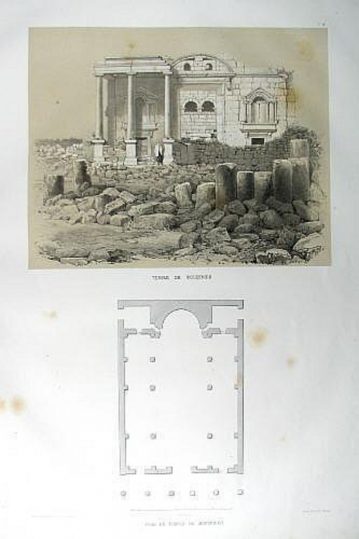
The plates in the atlas are as follows:
1- Colosse Phenicien & Monument de la Becqaa.
2- Maison du Haouran.
3- Moussemieh, Vue et plan.
4- Thermes de Chobba & Vue et plan de la cathederale de Bosrah.
5- Kennaouat, eglise & Kennaout, Es-serai.
6- Plan de Kennaouat.
7- Temples des Seleucides. Vue et plan.
8- Temple periptere, vue et plan.
9- Temples d’Aatyl.
10- Plan de Bosrah.
11- Bosrah
12- Chateau de Bosrah & Fragment du theatre de Bosrah.
13- Coupe de Chateau de Bosrah.
14- Premiere inscription relevee a Bosrah.
15- Second inscription relevee a Bosrah.
16- Mosquee d’Oma-el-Kabab, a Bosrah, vue et plan.
17- Prise de la mosquee d’Omar-el-Katab.
18- Carte de Haouran & Esquisse de la Mer Morte, indiquant la partie de la rive orientale exploree par M. Rey.
19 & 20- Djerasch, vue panoramique.
21- Plan de Djerasch.
22- Hemicysle de Djerasch.
23- Djerash, propylees du grand temple & Djerasch, vue du grand temple.
24- Carte de la rive orientale de la Mer Morte.
25- Vue de la Mer Morte, rive Orientale & vue de Masada.
26- Plan de Masada.
Bibliographic references: Brunet IV, 1259; Rohricht p. 480; Creswell, p. 396; Tobler, p. 196.


