
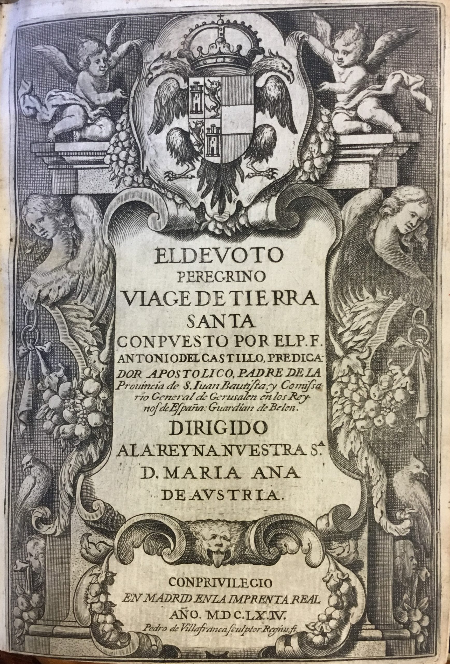
El Devoto Peregrino Viage de Tierra Santa.
Del Castillo, Antonio 1616-1668.
Synopsis
This popular traveller’s account of a journey to the Holy Land was reissued in many later printings, including the Paris edition of 1666 held by Brandeis. Antonio del Castillo was a Franciscan friar sent by his superiors to the Holy Land in the first part of the seventeenth century. From there he travelled to Alexandria, Egypt, and several other countries in the Middle East. In this volume, he describes his visits to Jerusalem, Nazareth, and Jaffa, with particular emphasis on the holy places he encountered there. The final portion of the book is given over to an account of the liturgy at the various important churches he visited, including the Church of the Holy Sepulchre in Jerusalem. Most striking in this volume are the numerous folded plates illustrating various aspects of the friar’s travels, particularly two enormous printed maps of Jerusalem, one representing the city as it might have looked in the first century as it flourished in the time of Jesus Christ, and the second portraying the city as it looked in the early seventeenth century’. Both of these maps are fascinating in their detail, with more than a hundred individual sites singled out for additional description in each instance. These include, in the first, the entire Via Dolorosa, the Way of the Cross, with all fourteen Stations of the Cross illustrated in miniature on the map, culminating in a depiction of the crucifixion and the tomb of Jesus in the bottom left corner.
The first striking difference is the accurate depiction of the Muslim holy sites, the Dome of the Rock and the al-Aqsa Mosque, in the center of the image. This map was likely produced from sketches of the city made from atop Mount Olive, and thus is probably relatively accurate in its portrayal of the appearance of the city in the early seventeenth century. As in the first map of the city, numerous locations are singled out. Like the first map, this one may be seen in more detail by clicking on the image, which will enlarge the scan. These maps are only two of the many detailed engravings in this volume, which include smaller maps and images embedded in the text, such as the below depiction of the town and surroundings of Bethany, as well as additional large folding plates with architectural depiction of important churches in and around Jerusalem.


