
Arabia Petraea. THREE VOLUMES IN FOUR.
Musil, Alois.
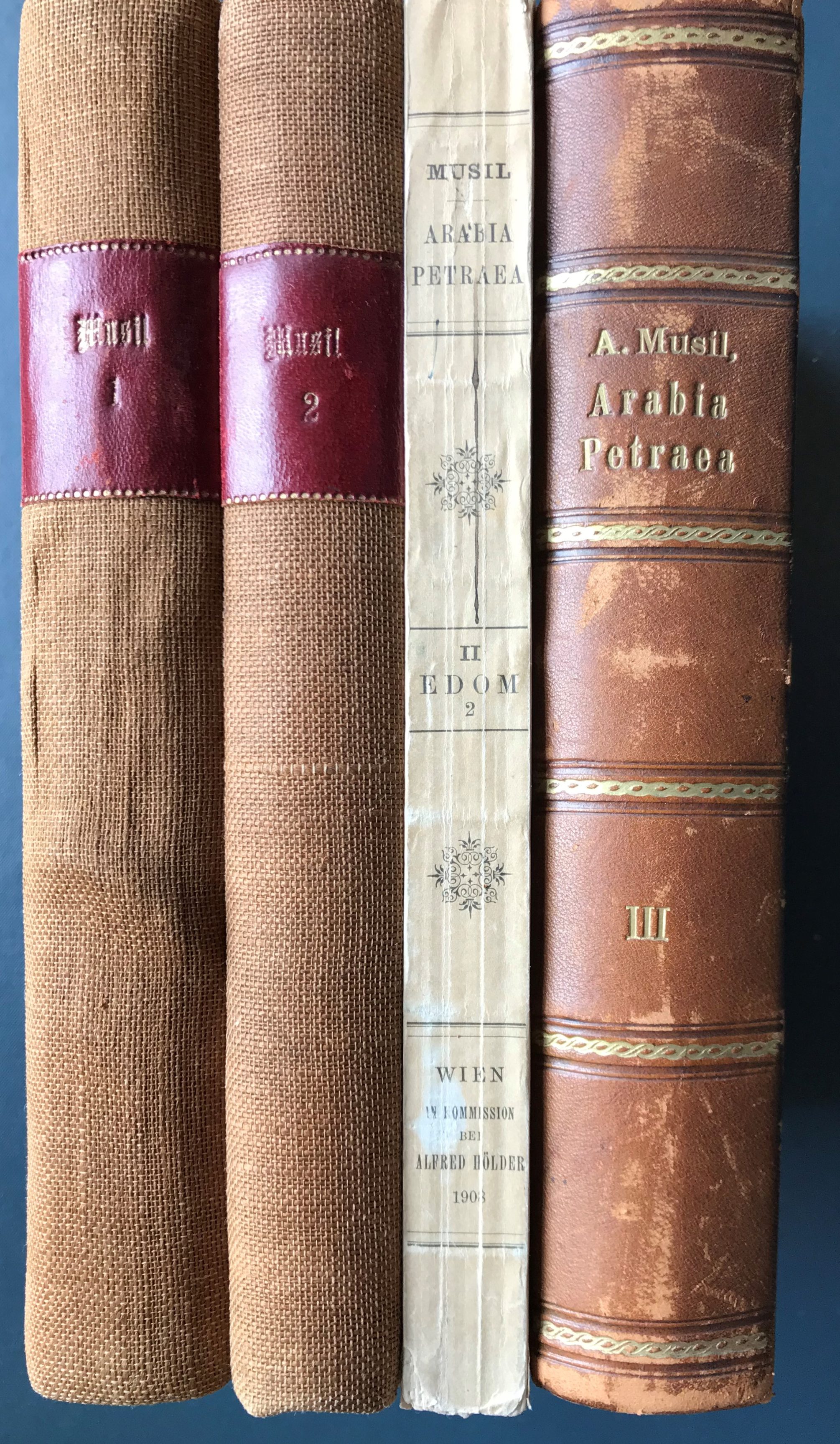
Small 4to. Volumes I: Moab - Topographischer Reisebericht: xxiii, 443 pp., 1 folding plate of El-Kerak, 190 illustrations in text / Volume II: Edom, Part 1: Topographischer Reisebericht: xii, 343 pp., 1 large folding colour lithographic map of Wadi Musa (Petra), 170 illustrations in text / Volume II: Edom, Part 2: Topographischer Reisebericht: x, 299 pp., [1], 152 illustrations in text, 1 folding map at rear, bookplate of Nathan Schur verso title page / Volume III: Ethnologischer Reisebericht: xv, [1], 550 pp., 62 illustrations in text, indices of German and Arabic words. Volumes I & Volume II, Part 1 in later plain canvas, slightly faded, spine title gilt on red label; Volume II, Part 2 in original wrappers, slightly rubbed round edges; Volume III in contemporary half calf with marbled boards & endpapers, slightly rubbed round edges, title gilt on spine, occasional spotting, otherwise set complete and in good condition, Alfred Hölder, Vienna, first edition, 1907-1908.
Synopsis
First edition of an important monograph. The Austrian-Czech orientalist, theologian and geographer Alois Musil (1868-1944) undertook several expeditions from 1896 to 1902 through Arabia and the Holy Land. His map book Arabia Petraea, published in 1907, was the first scientific survey of Nabataean antiquities, including the ruins of Petra. The first volume deals with Moab, the second deals with the territory of the ancient empire Edom, the third with the ethnological results.
Musil later helped survey the route of the Hedjaz Railway and in 1927 he helped establish the Oriental Institute of the Academy of Sciences in Prague.
Bibliographic references: Macro 1667; Howgego III, M103 (p. 664); Fuck 262; NYPL Arabia coll. 171; OCLC 3114451.


