
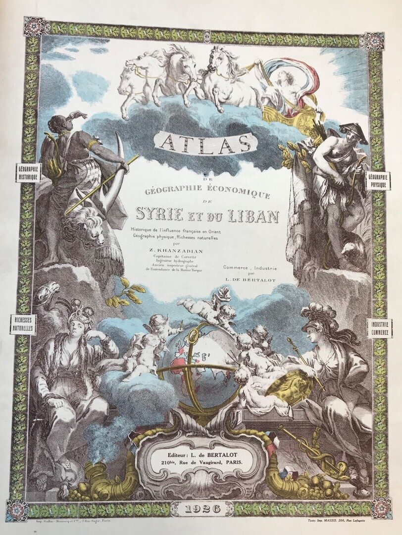
Atlas de Geographie Economique de Syrie et du Liban. Part I: Historique de l’Influence Française en Orient, Geographie Physique, Richesse Naturelles par Zadiq Khanzadian Capitaine de Corvette, Ingénieur Hydrographie. Part II: Commerce, Industrie par L. de Bertalot.
Khanzadian, Zadig and L. de Bertalot.
Synopsis
Complete rare documentary cartographic work of Syria and Lebanon. Privately published, not for sale (“Cet ouvrage n’est pas mis en vente”). Presentation copy from the author to Monsieur Paris, the director of the high school of maritime and navigation ” à la Nation Française chargée d’exercer la tutelle émancipatrice sur les états confiés à son mandat par la Société des Nations” (Syria & Lebanon). It was published as the author mentioned for the purpose of “ promoting French interests in the Levant”. An introduction is written by Georges Leygues, deputy minister of the French marines.
Details of the contents of the two parts are as follows:
1- Historical Part
28 plates of old maps and plans since the early maps drawn by Ptoleme until the beginning of the French Mandate in Syria and Lebanon.
3 plates of Palestine and the Holy Land.
1 plate containing 6 historical maps of Armenia, Syria, and Mesopotamia: (Assyrian Empire, Selucid Empire, Roman Empire, Crusades States, Ottoman Empire, Syria, and Grand-Liban).
II- Part of Physical Geography and Natural History.
Syria and Lebanon, Syria ( Population map); Alexandretta region; plan of Alexandretta; Syria and Grand Liban; Latakia region, Antioch region; Damascus and it surroundings; Tripoli region; Syria ( map of irrigation); Syria (2 cultural maps); Syria ( map of industrial plants); 6 maps ( Syria, importation, exportation, production of cereals).
Captain Khanzadian, Captain of Corvette and Hydrographic engineer, took care of the historical-cartographic part, while Bertalot took care of the part dedicated to Commerce and Industry, rich in data and statistical information. The economic framework tended to show that the Syrian-Lebanese region (also afflicted at the time by the Druse insurrection) was rich in economic resources which, under the French mandate, could have been put to income, and that therefore the French protection would not have been a mere passive charge. The vast cartographic documentation, from the Ptolemic representations to the maps outlined by Khanzadian himself, is of considerable interest. To the latter we owe, in subsequent years, a similar publication on the Géographie Historique de l’Algerie.


