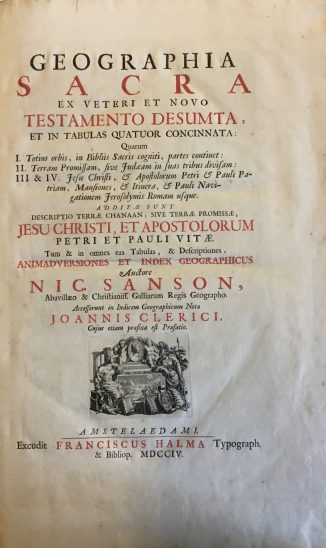
Geographia Sacra ex Veteri et Novo Testamento Desumta, et in tabulas quatuor concinnata: quarum I. Totius orbis, in Bibliis Sacris cogniti, partes continet: II. Terram promissam, sive Judaeam in suas tribus divisam: III & IV. Jesu Christi, & apostolorum Petri & Pauli patriam … & Pauli navigationem Jerosolymis Roman usque. Additae sunt descriptio terrae Chanaan, … Jesu Christi, et apostolorum Petri et Pauli vitae. … Auctore Nic. Sanson … Accesserunt in indicem geographicum notae Joannis Clerici, cujus etiam praefixa est praefatio. FOUR PARTS IN ONE VOLUME.
Sanson d’Abbeville, Nicholas/ Jean Le Clerc.
Synopsis
Nicolas Sanson 1600-1667…”Born in Abbeville, a town in the Picardy region of France, in 1600, Sanson was the most noted French cartographer in modern history. Mapmaker to Louis XIV, King of France, Sanson endowed his maps with the most recent geographical information as well as the finest and sharpest engraving of the period. His “Cartes Generales de Toutes les Parties du Monde” was the most important single product of French commercial cartography of the seventeenth century. Sanson sparked a renaissance in geographical endeavor in his native country, which had not been a major player on the international cartographic stage since the great Oronce Finé in the sixteenth century. With this atlas, Sanson laid the foundations of French domination in map production, initiating the so-called “French school of cartography,” a school that was unprecedented in its attention to precision and scientific detail and discarded much of the decorative embellishments of previous maps as irrelevant. From Sanson’s time in the second half of the seventeenth century until the latter part of the eighteenth century, French geographical conceptions were more influential than those put forward by any other nation. With this landmark atlas, Sanson all but single-handedly caused the center of cartographic innovation to shift from Holland to France..” [Pastoureau Sanson-VD; Shirley T. SAN-2b. Catalogued by Kate Hunter].
Bibliographic references: Rohricht 1129; Laor 692; Tobler 212; Furst III 244.


