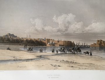
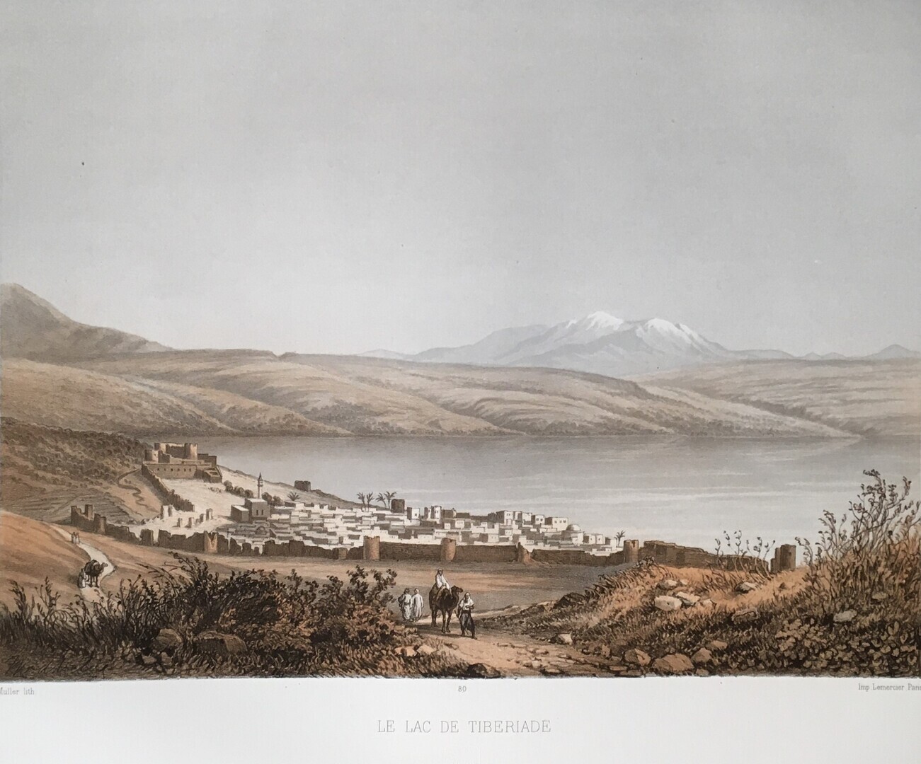
Le Pays d’Israel. Collection de Cent Vues Prises d’Apres Nature dans La Syrie et La Palestine pendant son Voyage d’Exploration Geographique en 1851 et 1852. Dedie a Sa Majeste Guillaume III, Roi des Pays-Bas.
Van de Velde, Charles William Meredith (1818-1898).
Synopsis
According to Van de Velde’s autographed letter, only 300 copies were printed, and of these a certain number (not specified) were proof copies published at £25.00 each. Then the lithographed stones were destroyed. The proof copies (description taken from from a copy at one time in the possession of B. Quaritch Ltd) are much taller than ordinary copies, and the plates are printed on card. They also include a plan of Jerusalem (as in this work) which is not numbered and which is not included in the ordinary format. Van de Velde had published an account of his journey in Dutch and English in 1854. [Blackmer 1723].
Charles William Meredith van de Velde (1818-1898), Dutch naval lieutenant, surveyor, painter and cartographer. He made two visits to the Holy Land in 1851 and 1862. He carried out surveys, drawings, paintings and around one hundred watercolours for postcards. He published a detailed map of Palestine after his second visit in 1862.
Van de Velde published this book which contains views of Lebanon, especially its southern parts and Palestine. In 1854, he published ‘Narrative of a journey through Syria and Palestine in 1851 and 1852’, which is a description of his journey during which he collected material for this splendid volume.
Bibliographic references: Blackmer 1723; Rohricht 2274; Tobler 184; not in Abbey.


