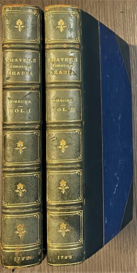
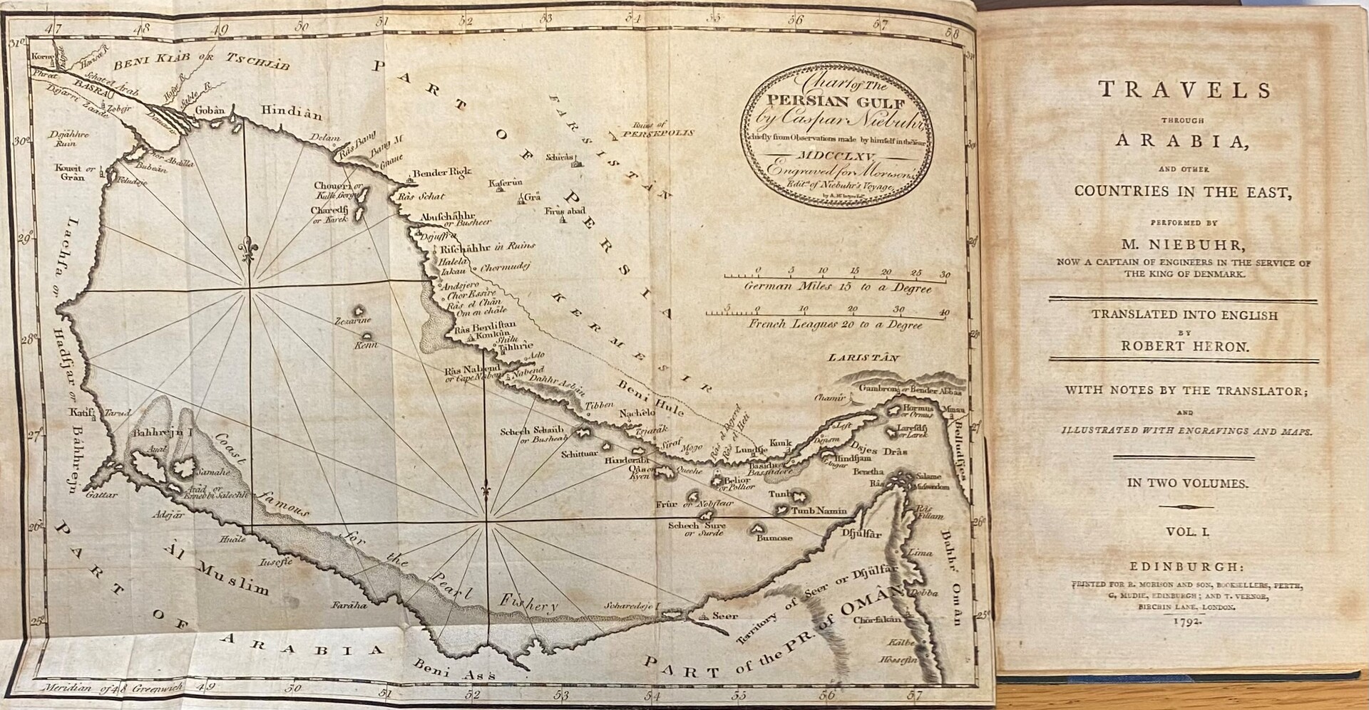
Travels Through Arabia and Other Countries in the East. Performed by M. Niebuhr, now a Captain of Engineers in The Service of The King of Denmark. TWO VOLUMES.
Niebuhr, Carsten.
Synopsis
The famous account of the Royal Danish expedition (1761-1767) to the Arabian Peninsula, sent out by Frederick V of Denmark in 1761. Of the five partaking scientists, Carsten Niebuhr (1713-1815) was the sole survivor, returning with notes and many drawings and annotations. Famous for his map of the Yemen (55 x 35 cm) which Niebuhr calculated by crossing the country and measuring the distances mile by mile. For the next century it served further European explorers of Arabia. His map of the Arab Gulf is the earliest map to mention Kuwait [in the English edition or published separately]. He is also one of the first to call the country Yemen instead of Arabia Felix. His work still forms one of the most authoritative descriptions of Arabia and Yemen in particular.
Bibliographic reference: Gay 3589.


